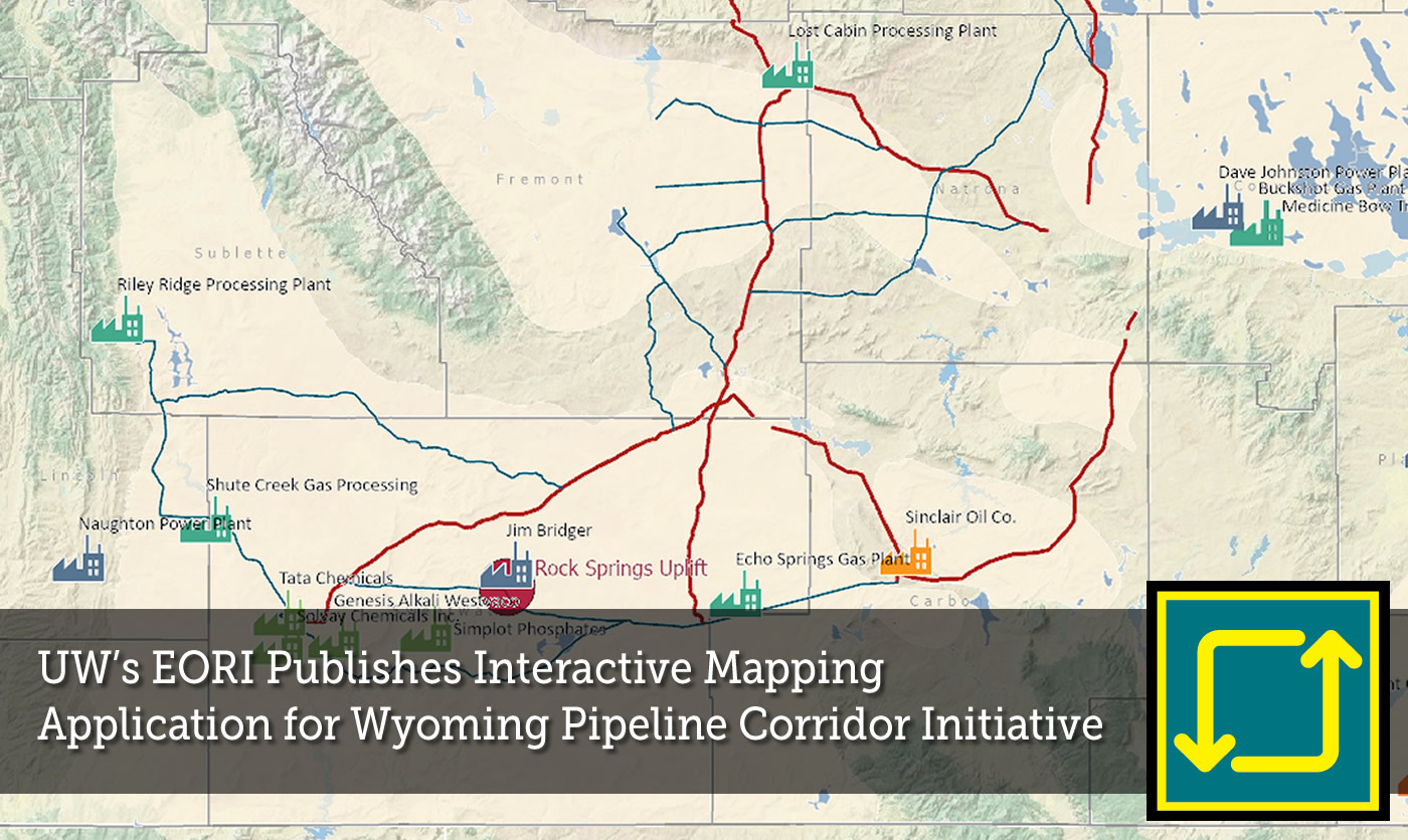
The Wyoming Pipeline Corridor Initiative (WPCI) mapping application offers users to access information on Wyoming’s CO2 industrial facilities, WPCI corridor routes, active pipelines and CO2 usage and storage sites
WPCI is an innovative project for Wyoming that will help expand Wyoming’s robust infrastructure and facilitate growth in both oil and gas production and carbon capture, utilization and storage (CCUS).
The Wyoming State Geological Survey (WSGS) states in their Oil and Natural Gas Resources in Wyoming January 2022 Summary Report that “The WPCI project gives Wyoming an opportunity to lead in carbon capture from industrial facilities, the geologic storage of carbon dioxide (CO2) , and the beneficial use of CO2 in enhanced oil recovery”.
Visit the Wyoming Pipeline Corridor Initiative Mapping Application here.
Download WSGS’s Oil and Natural Gas Resources in Wyoming January 2022 Summary Report here.