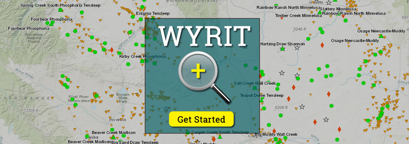
WYRIT
Wyoming Reservoir Information Tool

wyrit

NOTICE

WyRIT is currently undergoing re-design and re-development with a new and updated interactive web-based mapping application known as WyRIT 2.0. The original WyRIT application (described below) is still available to the public but may not  contain the most recent and updated data.

The new WyRIT 2.0 application will provide users with a more streamlined and updated interface along with added functionality such as the ability to save projects and custom queries/filters in their own defined workspace and profiles for future access and use. We are approaching the final development stages for the new and updated WyRIT 2.0 mapping application and anticipate final release sometime in the first to second quarter of 2024.

What Is WYRIT?

The Wyoming Reservoir Information Tool (WyRIT) is a geospatial information & engineering tool provided by the Enhanced Oil Recovery Institute (EORI) which focuses on data for Wyoming oil & gas reservoirs.

WYRIT is a web-based, interactive mapping application designed to expedite access to publicly available oil and gas data for Wyoming.

How Does WYRIT Help?

The goal of the project is to integrate oil and gas information from multiple data providers to serve as an interactive information tool. The tool directs end users to the original sources of information, where possible. The application allows users to display and identify information using an interactive map. End users can selectively display the available layers in the legend and zoom, pan, and identify features. In addition to the navigation tools, the application contains query tools that allow end users to search by location, field name and/or geologic formation. Additionally, the application allows users to extract information in multiple formats (tabular formats, text, etc.) and in different file formats such as shapefiles.

How To Use WYRIT

If you need help using WYRIT contact EORI. A staff member will be happy to assist you.